Heavy rain in Olongapo-Subic (total 107mm), heaviest during Thurs night
 http://www.weather-forecast.com/locations/Olongapo/map
 NASA TRMM Image: Tropical Rainfall Measuring Mission
Image from the Japan Meteorological Agency.
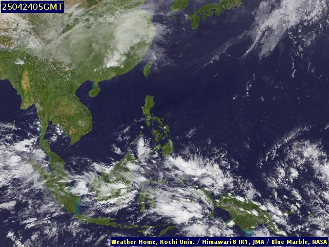
Kochi University, Satellite Weather map
Labels: flooding, forecasting, Olongapo City, rain gauges, Subic Bay, weather
posted by OlongapoCity Zambales at
5:00 PM
![]()
![]()


1 Comments:
NASA TRMM made the most accurate forecast in this instance. The declared state of calamity in mindanao where TRMM predicted the heaviest rainfall is a proof of their capacity.
By Observer, at 6/10/2011 7:56 PM
Post a Comment
<< Home